


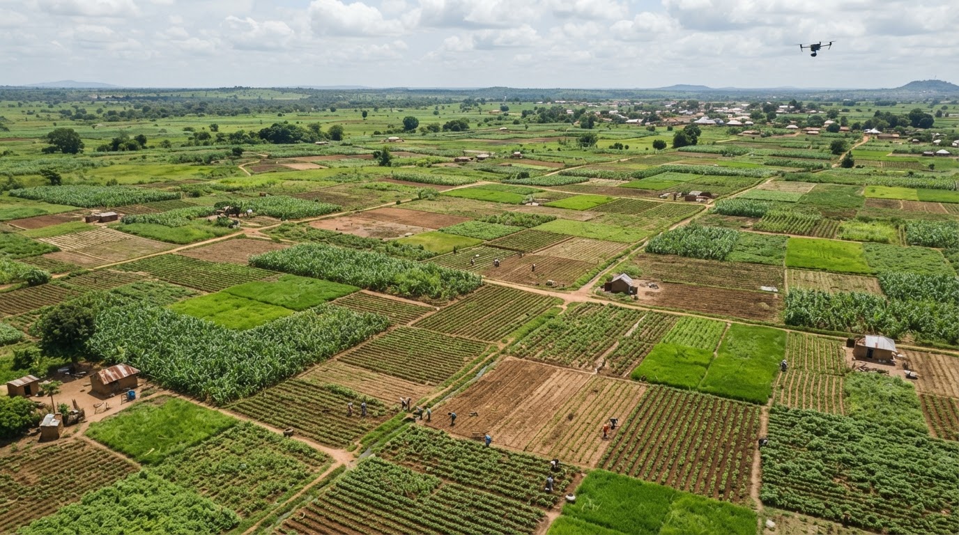
For years, agricultural planning in Nigeria has relied heavily on surveys and information gathered after planting seasons are already underway or completed. By the time crop estimates arrive, officials may have limited opportunity to respond to problems that farmers faced weeks or months earlier.
A new pilot in Jigawa State is intended to change that. The National Agro-Productivity System (NAPS), an artificial intelligence-powered platform, is using satellite imagery, machine learning and field observations to monitor farmland and crop development. The initiative marks an attempt to move agricultural intelligence closer to real time—but collecting data is only the first step toward better outcomes.
The pilot reported on November 17 involves trained agents working across 59 communities, with satellite images used to map farm parcels and identify crops, while field observations help validate the system’s findings.

What satellites can see
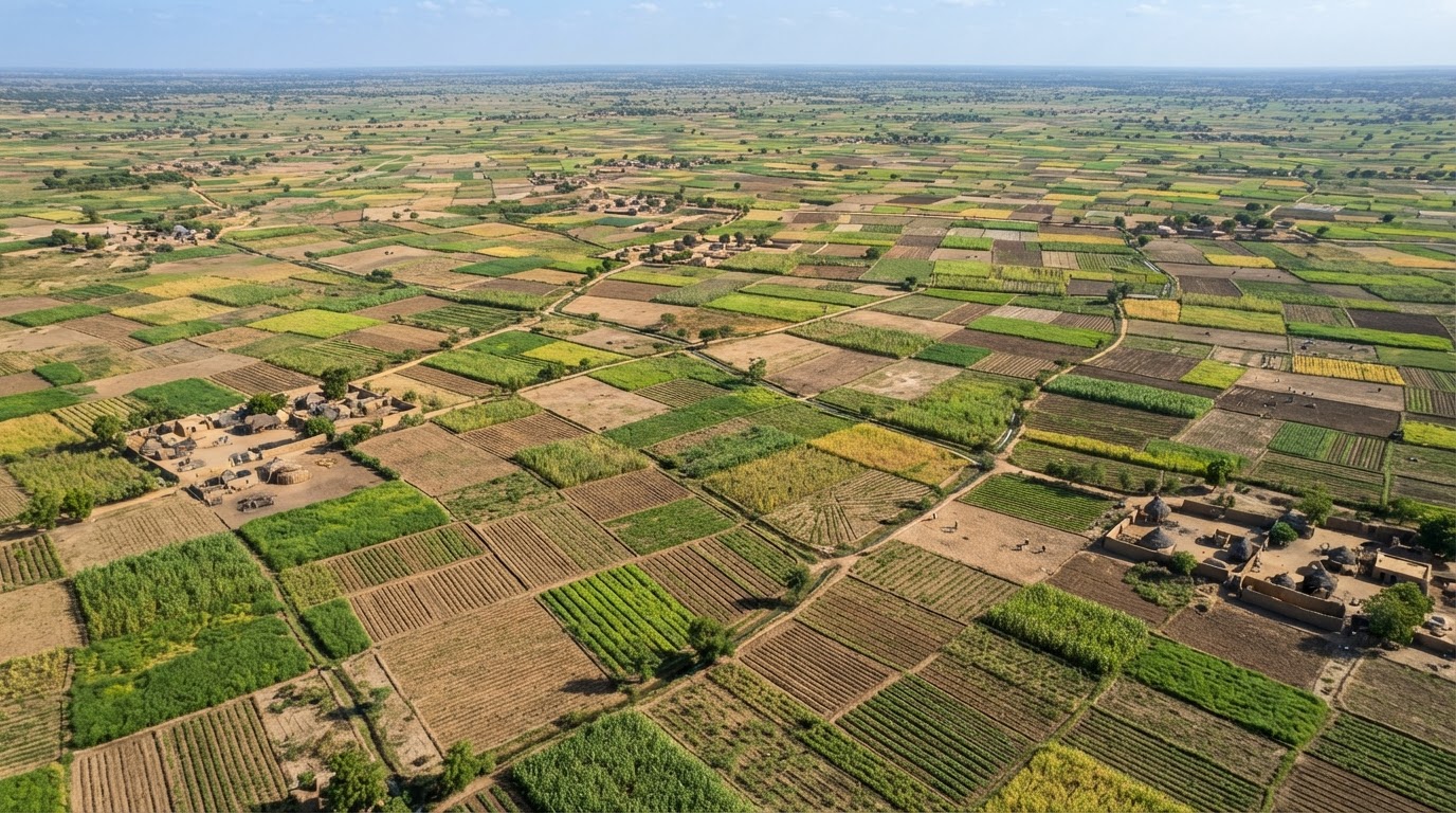
Satellite monitoring can help authorities identify cultivated land, track crop growth stages, observe changes in vegetation and build a clearer picture of what is being planted. Machine-learning tools can analyse images repeatedly, potentially revealing areas where crops are developing differently from expected patterns.
The project’s design is intended to combine remote sensing with ground-truthing: field agents check observations against what is actually happening on farms. That combination is important because a satellite image cannot always distinguish crops accurately, especially where fields are small, mixed or obscured by cloud cover. Local observations can improve the quality of the data and help correct errors.
In practical terms, a better map of farms could help planners estimate demand for inputs, identify areas needing advisory support, plan irrigation and compare production across locations. It may also help lenders and investors understand where farming activity is taking place, although data accuracy and consent will be critical before it is used for financial decisions.
Data must lead to action
One of the strongest arguments for real-time agricultural data is that it could make government response more targeted. If officials can identify areas where crops are struggling, they may direct extension workers, input supplies or interventions to locations where they are needed instead of relying on broad assumptions.
But monitoring does not itself solve the problems it detects. A system may identify drought stress, pest damage or poor crop growth without having the water, finance, equipment or personnel available to help the farmer. Data can improve decisions, but it cannot substitute for the capacity to carry them out.
The pilot therefore needs a clear response mechanism. When a field observation or satellite signal indicates a problem, who receives the alert? How quickly is it checked? Which agency is responsible for responding? What support can the farmer expect? Without these answers, the platform risks becoming an impressive information system that produces maps and dashboards without changing farm outcomes.
Accuracy and access
Farm mapping can create benefits, but it also raises questions about data ownership and privacy. Farmers should understand what information is being collected, who can access it and how it may be used. Linking plots to individual farmers may help target support, but errors could exclude genuine farmers or wrongly identify land and crop information.
There is also a need to include farmers whose plots are small, fragmented or managed under informal arrangements. A technology system designed around easily mapped commercial farms may underrepresent the very smallholders who need public support most.
The pilot is focused on rice, wheat and maize in selected communities. That is a useful starting point, but it should not be assumed that its performance will transfer to every crop, agroecological zone or farming system. Different crops have different growth patterns, and the accuracy of satellite classification may vary.
Measuring success
Officials have described the system as a way to improve agricultural decision-making and provide more timely information. Those goals are reasonable, but success should be measured beyond the number of hectares mapped or images analysed.
Useful indicators would include the accuracy of crop identification, how quickly alerts reach the responsible agencies, the number of farmers who receive practical support after a problem is detected, and whether the information improves planning or production estimates. Independent evaluation would help show where the technology performs well and where field verification remains necessary.
Jigawa’s pilot could help Nigeria build a more responsive agricultural information system. Its promise lies not in replacing farmers’ knowledge with artificial intelligence, but in helping government and support organisations see problems sooner and make better decisions. The real test will come when the data leads to action farmers can feel on their fields.